Studies to Support Ruddiman Creek Implementation-Ready TMDL
Background
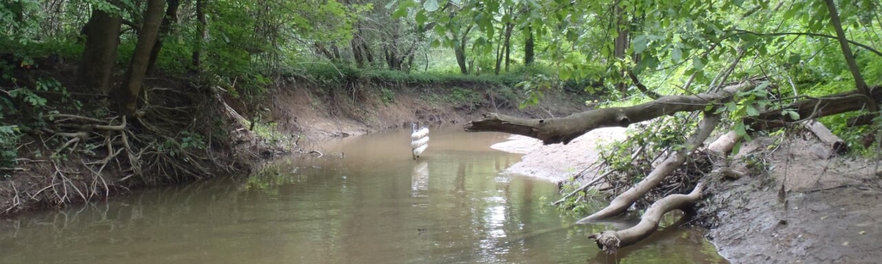
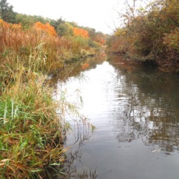
Ruddiman Creek is a heavily urbanized subwatershed of the Muskegon Lake Area of Concern (AOC). Its main branch is listed on Michigan's 303(d) list for impaired waters due to degraded benthos (organisms that live on the stream bottom). Because Ruddiman Creek does not meet water quality standards, the U.S. Environmental Protection Agency (U.S. EPA) requires that a Total Maximum Daily Load (TMDL) be developed.
A TMDL: establishes the allowable amounts of a pollutant in a water body, and identifies the pollutant reductions necessary to maintain water quality.
Excess sediment and silt have been identified as the causes of impairment in Ruddiman Creek. However, it is not known what specific sedimentation parameter (e.g., suspended sediment concentration, bedload, etc.) best addresses the flow issues in Ruddiman Creek that have led to the degradation of biota.
The large degree of impervious surface in this subwatershed has altered its natural flow regime. "Flashy" flows result in erosion, sediment movement, and poor habitat. As a consequence, we need to determine how altered the flow is in Ruddiman Creek. This information will allow us to establish targets that will result in the conditions necessary for a non-impaired biotic community.
Project Summary
We are using an integrated assessment (IA) approach to study hydrology and sediment transport within the Ruddiman Creek watershed. Over a 13-month period, we are monitoring flow, suspended sediment, bedload sediment, and other physical/chemical parameters at 6 tributary sites and 3 storm sewer locations throughout the watershed.
These data will be used in models that will allow us to identify necessary flow and pollutant targets, create a hydrologic model, and assess habitat quality. This information, along with stakeholder input, will be used to select appropriate best management practices (BMPs) to reduce storm flow volume, velocity, and sediment loads in Ruddiman Creek. Michigan Department of Natural Resources and Environment (MDNRE) will use this information to develop an implementation-ready TMDL for Ruddiman Creek.
BMP implementation in Ruddiman Creek will lead to an improvement in habitat and water quality and enhance macroinvertebrate and fish communities. The ultimate goal of BMP implementation is the attainment of water quality standards and subsequent removal of Ruddiman Creek from the 303(d) list, and the delisting of the beneficial use impairment (BUI) for degraded benthos in the Muskegon Lake AOC.
This project is funded as a cooperative award from the U.S. EPA through the Great Lakes Restoration Initiative (GLRI)
Project Downloads:
Map Atlas:
- Table of Contents
- Section 1: Project Overview
- Section 2: Population and Land Use
- Section 3: Developing TMDL Targets and BMP Applications
Additional Maps:
BMP Resources:
- BMP Information for Stakeholders
- BMP Scoping Tool (see Appendix C of final report for explanation)
- BMP Cost Calculator (see Appendix L of final report for explanation)
Stakeholder Meeting Presentations:
- Kick-Off Meeting (November 23, 2010)
- February 2011: Project Overview (February 8, 2011)
- May 2011: Monitoring Update 1 (May 4, 2011)
- August 2011: Muskegon Area Municipal Storm Water Committee (August 9, 2011)
- November 2011: Monitoring Update 2 (November 8, 2011)
- June 2012: Modeling and BMPs (June 26, 2012)
- October 2012: Monitoring Summary (October 2, 2012)
Project Partners:
Michigan Department of Environmental Quality Fishbeck, Thompson, Carr, & Huber West Michigan Shoreline and Regional Development Commission