Issues Definition


[1560350993].jpg)


About
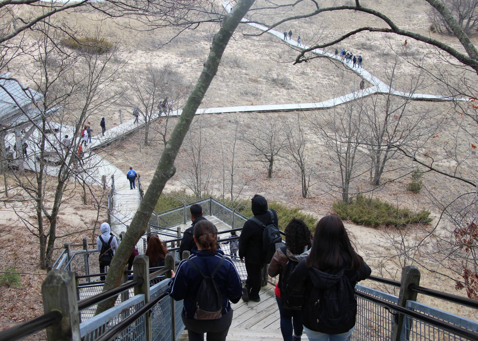
During the Issue Definition portion of a Meaningful Watershed Educational Experience (MWEE), students learn about the environmental issue they are exploring through background research and investigations.
More About Issue Definition
To define the issue, students focus on a driving question that is engaging, open-ended, relevant to their lived experiences, and meets learning objectives by:
- asking questions
- carrying out field investigations
- classroom instruction
- collecting data
- conducting experiments
- making observations
- talking to experts
- reviewing credible publications
Create and assess your driving question using the NOAA MWEE Audit Tool.
As you work towards developing the driving question for your MWEE and as you help guide your students to developing supporting questions, take a moment to pause and think about whether the driving question or issue could lead to realistic and relevant action. Use the Developing Driving Questions planning document to create effective driving questions.
What is Issue Definition?
The above video was created in partnership with WGVU with NOAA support.
What is Issue Definition?
For the issue definition portion of the MWEE, students learn about an environmental issue by planning and conducting background research and investigations. Teachers work with students to define a driving question to provide structure for this work.
Plan your Issue Investigations to support your MWEE with the using pages from the NOAA Planning Toolkit.
Classroom Connections
Are you looking for a place to start? Use the below Groundswell resources to help provide your students with the opportunity to construct knowledge and understanding of the issue or phenomenon they are exploring.
Generating Questions
Walk students through the process of conducting background research with activities designed to help student groups generate research questions. To build on this activity, explore the Creating Meaningful Outdoor Experiences Unit, which is designed to provide students with a MWEE centered on the Great Lakes Watershed.
What's the Problem?
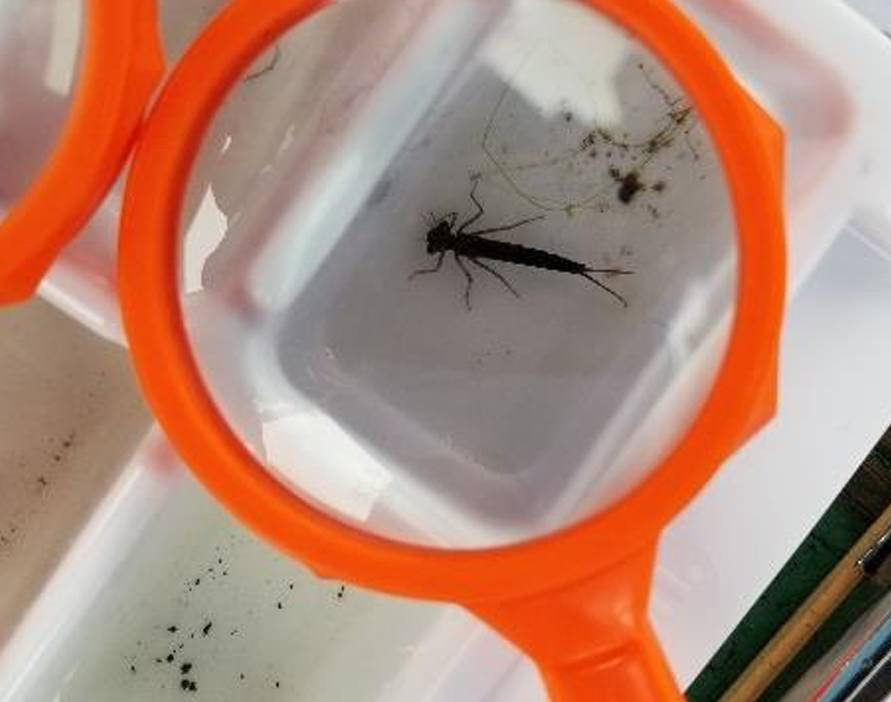
Facilitate students as they define and understand the problem of macroinvertebrate sampling solutions. To build on this activity, explore the Advanced Water Quality Unit, which is designed to help students consider what actions can be taken to reduce human impacts on local streams and improve stream quality.
Investigate Excess Nutrients
Challenge students to design and conduct an investigation to determine the effect of nutrients on algal growth or the growth of aquatic plants. To build on this activity, explore the full content of Lesson 4: Managing Excess Nutrients, which is designed to help students understand the effects of excess nutrients in their local watershed.
Where does the water flow?
Help students build connections to their place as they make observations about their local watershed. Go beyond this activity and explore the full content of Lesson Plan 1: Watersheds and Nonpoint Source Pollution Basics, which contains activities to introduce students to scientific models that help them to conceptualize watersheds and their importance for managing nonpoint sources of pollution.
History and Place
Guide students on an exploration of the history and culture of the Grand River through different eras of time with primary source documents, artifacts, and summaries of events. Go beyond this activity and explore the full content of the Social and Economics Unit, which examines the social and economic role that the Grand River has played in the Grand Rapids, Michigan community, beginning with the Paleo-Indians and extending to the current day.
Issue Selection
Lead students through a decision-making process to identify the Great Lakes issue they would like to address with a stewardship project. To build on this activity, explore the Creating Meaningful Outdoor Experiences Unit, which is designed to provide students with a MWEE centered on the Great Lakes Watershed.
Local Context
The above video was created in partnership with WGVU with NOAA support.
Connecting the Great Lakes Literacy Principles
The Great Lakes region is a special place, and anchoring your MWEE using Great Lakes Literacy Principle 1 can help connect students’ lived experiences to what is happening in their watershed and the broader Great Lakes watershed.
Great Lakes Literacy Principle 1: The Great Lakes, bodies of fresh water with many features, are connected to each other and to the world ocean.
Classroom Connections
Connect your local place further with the below videos:
What is a Watershed?
This video is also available in Spanish. ¿Que es una cuenca?
Grand River Revitalization Walk
Eileen Boekestein and Brenda Perry lead participants on a river walk to highlight Grand River restoration possibilities.
Stormwater Pollution
This video is also available in Spanish. La contaminación cuando llueve
MWEEs in your Classroom
The above video was created in partnership with WGVU with NOAA support.
MWEEs in your classroom
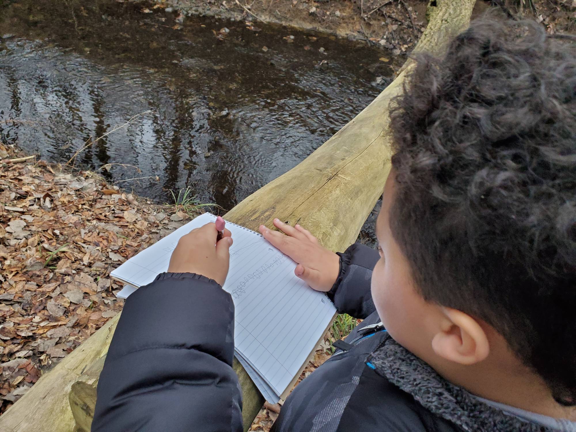
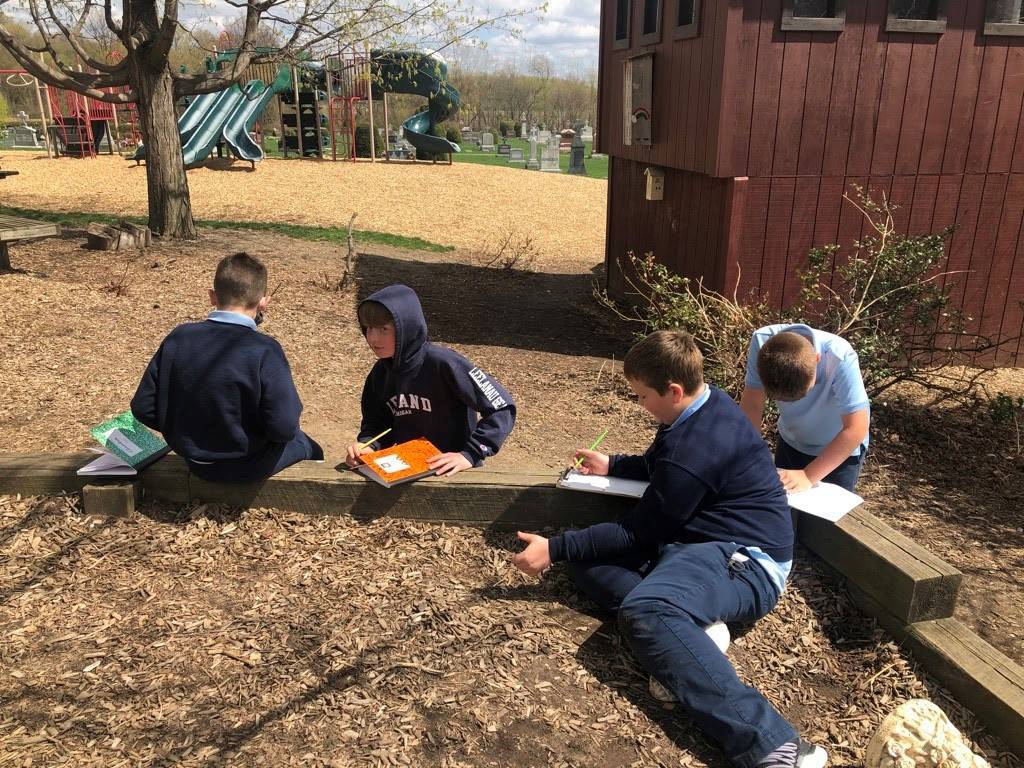
To explore the driving and supporting questions, students gather information by making observations, finding and reading credible sources, talking to experts, and carrying out field investigations. Hear from local teachers about how they boost student engagement and student voice throughout the issue investigation process.
Encourage students to generate or add to supporting questions based on their previous knowledge, lived experience, and interest that help them develop potential answers to the driving question and shape investigations.
Support students by contacting local experts who can share more about a local issue. Students can develop interview questions and facilitate the dialogue.
Discover other ways to build student success through the use of Supporting Practices found in a selection from the NOAA MWEE Guide.
Diving Deeper into Your MWEE Plan
Environmental Literacy Model
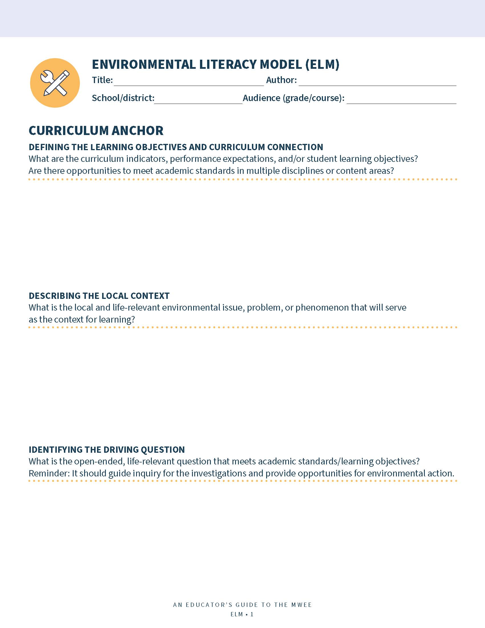
NOAA's Environmental Literacy Model (ELM) can guide you through the Issue Definition and Investigation process. The ELM begins with a curriculum anchor or identifying what academic standards and learning objectives you will meet with your MWEE.
Planning Your MWEE: Issue Investigation Components
Asking Questions, Defining Issues and Problems
Students and teachers work together to define the issue, problem, or phenomenon to be investigated and develop questions that are relevant for investigation.
Think: What supporting questions may students investigate to explore the driving question further?
Note: This may be ongoing throughout the investigations.
Planning & Conducting Investigations
Students develop plans for collecting, analyzing, and communicating information and/or data to help them answer their questions and understand the problem. Students identify and justify appropriate sources of information and/or data and determine methodologies for collecting information and/or data.
Think: How could students plan and conduct indoor and outdoor investigations to actively address the supporting questions?
Analyzing & Interpreting Data
Students present and share information and/or data to reveal patterns that indicate relationships. Students apply disciplinary concepts as they analyze and interpret information and/or data to make sense of the issue or phenomenon.
Think: How could students analyze data (graphics, models, etc.) to reveal patterns and relationships?
Constructing and Communicating a Claim
Students develop claims based on their evidence and communicate these evidence-based claims to internal and/or external audiences.
Think: How could you guide your students through the process of developing claims based on their evidence?
Community Exploration
Place-based education (PBE) is all about learning through your local community. Investigate local resources to use as jumping-off points for engaging students in learning. Explore topics encompassing multiple subject areas, including history, ecology, language arts, and more.
Stormwater Drains

Ducks and Geese

Soil Erosion

Why is this a problem?
Cities and other developed areas have catch basins to prevent flooding. Before these areas were developed, there were trees, grasses, and other plants to help rainwater soak into the soil. This vegetation was removed when people built homes, businesses, and roads. Rainwater can’t soak through these “impervious” surfaces (roofs, pavement, etc.). If the rainwater has nowhere to go, it will cause flooding.
Catch basins are designed to move stormwater away from developed areas as quickly as possible. The water can’t flow into the basin if leaves, trash, or other debris block the opening. When it rains, the area around the basin will flood.
There are thousands of catch basins spread throughout most cities. The city does not have enough people on staff (or the resources) to check each basin and make sure it is clear constantly. Therefore, it needs residents to help keep the basins clear around where they live.
Resources:
- The Prevalence and Cost of Urban Flooding: An analysis that combines insurance and FEMA claims data, property owner surveys, and GIS mapping of flooding in an urban environment.
- Historical Development of Wet-Weather Flow Management (WWF): An EPA publication containing a historical literature review and highlights the development of WWF management from ancient times to the present.
- Wastewater Collection System Toolbox: An EPA collection of resources related to wastewater infrastructure
What actions can you take?
Why is this a problem?
Too many ducks and geese living around our lakes and rivers lead to a lot of bird waste. Rainwater picks up the waste as it flows over the land and carries it to lakes, streams, and rivers.
Animal waste is a source of pathogens, which are organisms that can make people sick. When too many of these pathogens are in the water, beaches will close to protect human health. Pathogens are one of the leading causes of water quality problems in the United States.
Animal waste is also a nutrient source (nitrogen and phosphorus) that can lead to excessive algae growth.
Resources:
-
Geese, Ducks, and Coots: An overview by the USDA highlighting the damage caused by geese and ducks to agriculture, property, and natural resources, and/or impact human health and safety
-
How Will You Grow?: Helpful resources for whatever horticulture project you're growing
-
Polluted Runoff: Nonpoint Source (NPS) Pollution: An EPA collection of resources related to NPS and actions to reduce NPS
-
Recreational Water Quality Criteria and Methods: EPA criteria to protect people from organisms, such as viruses and bacteria, and their associated toxins in water bodies
-
Outbreaks of Illness Associated with Recreational Water: A CDC report of illness outbreaks in treated (ex. pools) and untreated (ex. lakes) recreational waters
-
Beach Closures: A Woods Hole Oceanographic Institution overview of beach closures
- What is nutrient pollution?: A NOAA overview of excess nutrients in waterways
What actions can you take?
What is erosion?
Erosion occurs when soil is gradually worn away by the force of flowing water (or wind). In urban areas, it is common to see erosion along streambanks that receive a lot of stormwater runoff. It is also common to see erosion along lakeshores or streams where grass is the dominant form of vegetation.
Flowing water has a lot of energy (called kinetic energy). This energy gives water the power to pick up and transport loose soil and other materials. If soil is not held down by vegetation, there is a much higher risk it will erode and be carried away by the water.
The amount of energy in flowing water depends on the volume of water and its velocity. Streamflow is measured by calculating the area of the channel multiplied by the average velocity (given in units of ft^3/s or m^3/s). Streams will have more energy if they have a lot of water and/or the water is moving very quickly.
Why is this a problem?
In urban areas, streamflow often varies a lot. If it hasn’t rained for several days, an urban stream might not have much water. But shortly after a storm hits, that stream will suddenly surge. The volume of water will increase substantially, and the water will move very fast.
The surge occurs because the rain falling on streets, roofs, and other impervious surfaces cannot soak into soil where it fell. Instead, it entered catch basins and flowed through a series of pipes, along with rainwater collected from other parts of the city. This water ultimately empties into a nearby stream. By the time the pipe reaches the stream, it has collected a large volume of water, and the water is moving at a high velocity. This hits the stream with a lot of erosive force – like opening up a fire hose. The energy will scour the banks, eroding the soil and carrying it downstream.
Eroded soil causes sediment pollution, one of the main types of nonpoint source pollution. Sediment is also one of the leading causes of impaired waters in the United States. Too much sediment in the water causes turbidity (the water looks muddy, and less sunlight gets through) and degrades habitat.
Resources:
- Polluted Runoff: Nonpoint Source (NPS) Pollution: An EPA collection of resources related to NPS and actions to reduce NPS
- Stream Processes: An overview by Columbia University of stream flow, sediment transport, and stream dynamics and patterns
- Water Pollution: Everything You Need to Know: Rivers, reservoirs, lakes, and seas are drowning in chemicals, waste, plastic, and other pollutants. Here’s why and what you can do to help.
- How's My Waterway: Provides the general public with information about the condition of their local waters based on data that state, federal, tribal, local agencies and others have provided to EPA
- Urban Land Use and Water Quality: Explore environmental changes associated with urban development related to urban creeks and streams in this resource from the USGS
What actions can you take?
Impervious Surfaces

Pet Waste

Invasive Species
What are impervious surfaces?
Impervious surfaces are materials that do not allow water to flow through them. Examples include concrete, asphalt, and roofs.
Why is this a problem?
Under natural conditions, land is covered with trees, grasses, and other plants. When it rains, most rainwater soaks into the soil or is taken up by plants. Relatively little of the rain flows over the surface. Rainwater primarily enters lakes and streams by moving laterally (sideways) through the soil. Moisture moves much slower through soil than on the surface, so stream levels would rise and fall gradually after it rains.
Urban development changed the natural water cycle. People removed vegetation to build homes, businesses, and roads. These surfaces (roofs, pavement, etc.) are “impervious,” meaning rainwater cannot soak through them. If the rainwater has nowhere to go, it will cause flooding. To prevent flooding, cities built storm sewer systems. These systems moved stormwater away from cities as quickly as possible through a system of storm drains and pipes. However, this “solution” caused other environmental problems, such as erosion and pollutants picked up by stormwater runoff and carried to rivers and lakes.
Resources:
- Impervious Surfaces and Flooding: USGS Water School resource about the impacts of impervious surfaces
-
Causal Analysis/Diagnosis Decision Information System (CADDIS): EPA tool to help conduct causal assessments in aquatic systems
-
Runoff: Surface and Overland Water Runoff: USGS Water School resource about the runoff
-
The Prevalence and Cost of Urban Flooding: An analysis that combines insurance and FEMA claims data, property owner surveys, and GIS mapping of flooding in an urban environment.
-
Polluted Runoff: Nonpoint Source (NPS) Pollution: An EPA collection of resources related to NPS and actions to reduce NPS
-
Permeable Pavers: An overview of alternative paving materials
What actions can you take?
The environmental effects of impervious surfaces can be addressed by either reducing the amount of impervious surface (replacing pavement with native vegetation or permeable pavement) or capturing rainwater so it doesn’t flow down the storm drain (installing a rain barrel and/or rain garden).
Why is this a problem?
When it rains, rainwater picks up pet waste as it flows over the land. The polluted rainwater goes down storm drains and into our lakes, streams, and rivers.
Animal waste contains pathogens, which are organisms that can make people sick. When too many of these pathogens are in the water, beaches will close to protect human health. Pathogens are one of the leading causes of water quality problems in the United States.
Animal waste is also a nutrient source (nitrogen and phosphorus) that can lead to excessive algae growth.
Resources:
-
How Will You Grow?: Helpful resources for whatever horticulture project you're growing
-
Keep it Clean: Information on keeping pet waste out of streams
-
Polluted Runoff: Nonpoint Source (NPS) Pollution: An EPA collection of resources related to NPS and actions to reduce NPS
-
Recreational Water Quality Criteria and Methods: EPA criteria to protect people from organisms, such as viruses and bacteria, and their associated toxins in water bodies
-
Outbreaks of Illness Associated with Recreational Water: A CDC report of illness outbreaks in treated (ex. pools) and untreated (ex. lakes) recreational waters
-
Beach Closures: A Woods Hole Oceanographic Institution overview of beach closures
- What is nutrient pollution?: A NOAA overview of excess nutrients in waterways
What actions can you take?
Why is this a problem?
Invasive species are plants or animals that are not native to the ecosystem and cause or will likely cause economic harm, environmental harm, and/or harm to health. Sometimes, invasive species are introduced to an ecosystem intentionally, and other times the introduction is accidental. Regardless of how the invasive species were introduced, they can impact ecosystem processes once in the new ecosystem location.
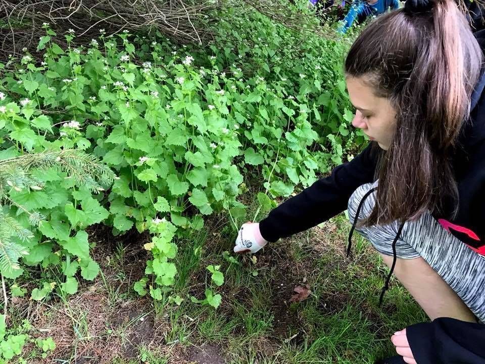
Invasive species can out-compete native species, displacing native plants and animals and using their food or nutrient sources, spreading rapidly in areas without natural predators. In Michigan, there are hundreds of terrestrial and aquatic invasive species. Prevention to keep invasive species out is the first line of defense. It can be hard to rid an ecosystem of invasive species once established. However, there are projects students can participate in to help control invasive species populations, such as pulling invasive plants.
Resources:
- A Field Identification Guide to Invasive Plants in Michigan’s Natural Communities: A resource for public land managers, land stewards, and volunteers engaged in conserving & restoring Michigan’s native plant & animal communities
- Michigan Invasive Species Watch List: An invasive species watch list to identify immediate or potential threats to Michigan
- Michigan Natural Features Inventory (MNFI) Best Control Practice Guides: The Best Control Practice Guides include information on the origin and impacts of each species, descriptions, and characteristics that can be used to distinguish them from similar species.
- Michigan Sea Grant Invasive Species: An overview of the aquatic invasive species found in the Great Lakes region
- Midwest Invasive Plant Network: The Midwest Invasive Plant List identifies all the plant species regulated through state law and/or listed as invasive with plant identification traits, photos, and distribution maps
- Midwest Invasive Species Information Network (MISIN): Invasive species fact sheets
- MISIN Report Occurrences: Students can contribute their data to the map about where they found certain invasive species
- National Invasive Species Information Center: Contains information on invasive plants, their history, and methods of invasion into the U.S.
- University of Michigan Herbarium: Includes information about vascular plants known to occur outside of cultivation, including distribution maps, identification keys, species occurrence, and specimens documented
What actions can you take?
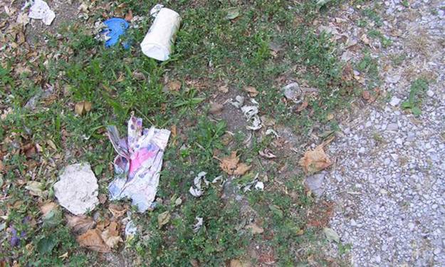
Litter, Trash, and Debris
Air Pollution
Nutrient Pollution
What is litter, trash, and debris?
Most people have heard of trash in the oceans, but this is a problem for freshwater, too. Litter, trash, and debris are human-made products and materials that are waste items that were not properly disposed of and are now in freshwater ecosystems. Litter, trash, and debris can range in size from small microplastics all the way through large items like tires or sunken boats.
Why is this a problem?
Litter, trash, and debris can enter lakes, streams, and rivers through rainwater, wind, and direct dumping. Debris can prevent rivers and streams from flowing naturally, damage aquatic habitats, and threaten wildlife. It also can become a source of chemical pollution if it contains a contaminant or if chemicals are released as the materials degrade. Litter also reduces the recreational value of natural areas by making them look “dirty” and unappealing. Cleaning up litter is costly and adds to the economic burden of local governments.
Resources:
- Adopt a Beach: An overview of the Adopt a Beach program and a link to the Great Lakes in My World curriculum guide
- Michigan Sea Grant Beach Clean-Up Data Sets: Data sets describing the quantity of litter picked up around the Great Lakes
- Great Lakes Commission Habitat Restoration: A local example of a large-scale cleanup of historic debris impairing the Muskegon River and Muskegon Lake
- Alliance for the Great Lakes Beach Litter Analysis: Includes an analysis of 20 years of data collected by Adopt-a-Beach volunteers on all five Great Lakes
- Natural Resources Defense Council: 10 ways to reduce plastic pollution
What actions can you take?
Why is this a problem?
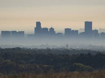
Air pollution impacts the environment and human health and can occur indoors and outdoors. There are laws and regulations in place in Michigan to reduce air pollution. Some regulate industry, while others, such as the burning laws and regulations, have a more direct impact on individual household practices.
Air pollutants come from various sources, both anthropogenic and natural. The Clean Air Act identifies six criteria pollutants the U.S. EPA must set standards for, which are known as the National Ambient Air Quality Standards (NAAQS). The six criteria pollutants include carbon monoxide, lead, ozone, particle pollution (PM), sulfur dioxide, and nitrogen dioxide. Sometimes, ground-level ozone and particle pollution are at levels that put people’s health at risk, and EGLE Air Quality Division meteorologists call Clean Air Action Days.
Resources:
- Clean Air Act Permitting in Michigan: An overview of permitting regulations in Michigan
- EGLE Learn About Our Air Quality: Find out information about air quality in Michigan with air quality maps and alerts and info about additional air quality topics
- EnviroFlash: Sends air quality messages right to your inbox.
- AirNow Air Quality Index: A partnership between the EPA, NOAA, NPS, NASA, CDC, and other air quality agencies providing air quality data for your local area, including an interactive map.
- MEECS Air Quality: Curriculum unit from EGLE designed to explore the health effects of air pollutants and examine current Michigan air quality issues.
- West Michigan Clean Air Coalition: Find local information on how you can take action, stay informed, and learn about pollutants impacting Michigan’s air quality. You can also access curricula and request a classroom speaker through WMCAC.
- EPA Air Topics: Learn more about pollution & air quality, indoor air, emissions, and more
- Clean Air Act Overview: Current and future challenges of air pollution
What actions can you take?
- Collect air quality data through observations (such as idling cars at the carpool line) and using scientific tools (such as homemade or purchased particle pollution monitors) and implement a community engagement campaign about air quality
Why is this a problem?
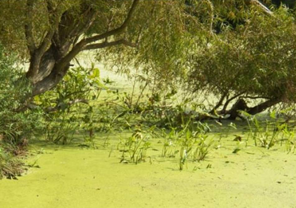
Nutrient pollution is one of the top causes of water quality impairment in our nation's surface waters. Nutrients like nitrogen and phosphorus are natural and necessary components of aquatic ecosystems. However, water quality can become impaired when too much nitrogen and phosphorus enter aquatic ecosystems through runoff. Many environmental factors influence the amount of nutrients entering the waterways. For example, the geology and topography of a watershed impact the quantity of nutrients that enter lakes and streams via surface runoff. Human activities are major drivers of excess nutrients entering waterways. Some of the primary sources include:
- Agriculture: Animal manure, fertilizer applied to crops and fields, and soil erosion
- Urban Stormwater
- Wastewater
- In and Around the Home: Fertilizers, yard and pet waste, ammonia-based cleaning products, and soaps and detergents containing nitrogen and/or phosphorus.
Excess nutrients in runoff can be one of the contributing factors for Harmful Algal Blooms (HABs) in waterways.
Resources:
- Harmful Algal Blooms (HABs): The U.S. EPA Harmful Algal Blooms (HABs) in water bodies page covers HAB basics, monitoring and management information, and HAB research.
- Michigan Sea Grant: An overview of HABs in the Great Lakes region
- Nutrient Framework: Links to EGLE resources about nutrient pollution
- Nutrient Pollution: An EPA overview of basic information, stewardship action, data, and research about nutrient pollution
- Nutrients and Eutrophication: A USGS overview of the sources, transport, and impact of excess nutrients
What actions can you take?
MWEE Audit: Issue Investigation
The MWEE Audit Tool for Issue Definition can be used to strengthen an existing MWEE or help plan a new MWEE to ensure that the essential element of issue definition and investigation is meaningfully included.
Keep exploring the other Essential Elements of a MWEE! Jump back to the MWEE Toolkit Homepage or the Toolkit Navigation Menu to discover more!

[1709813062].jpg)
